A Unity project which looks into streaming real world map data based on GPS location and creating 3D environments using that data.
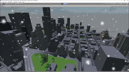
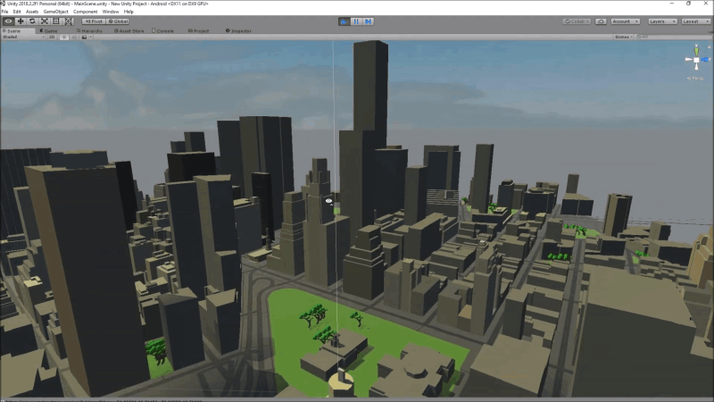
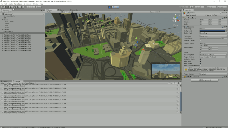
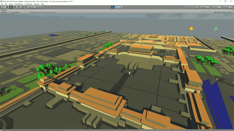
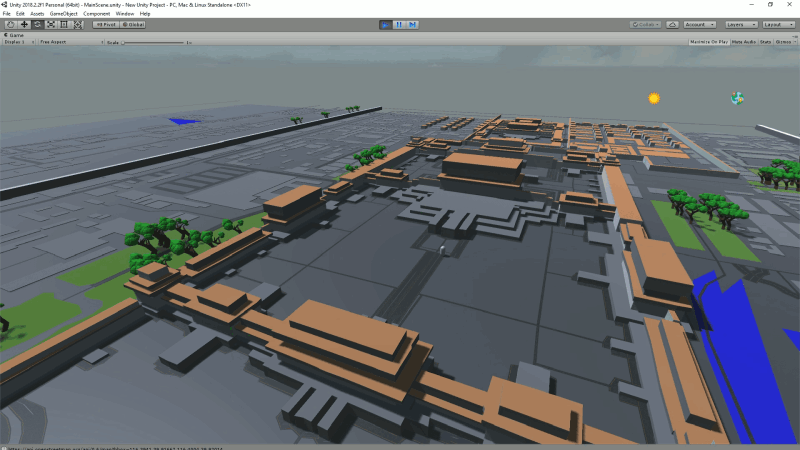
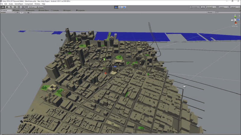
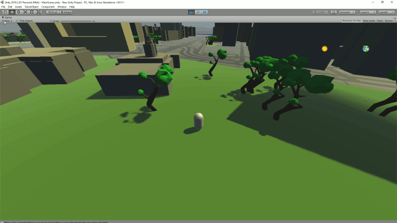
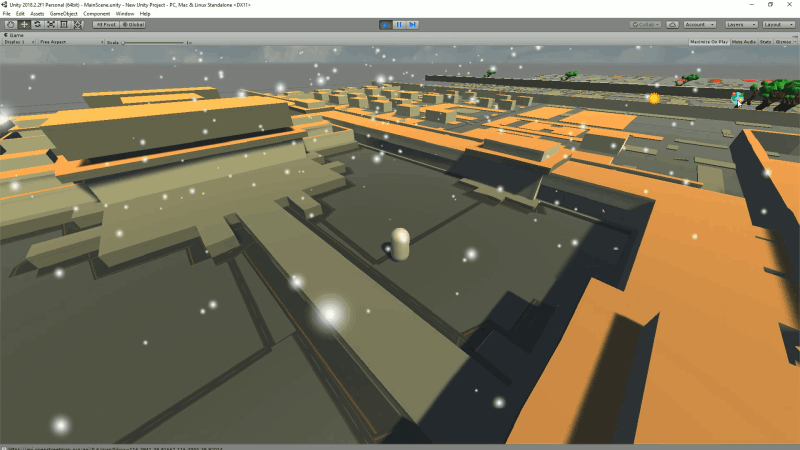
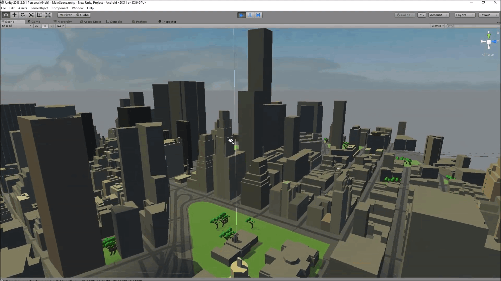
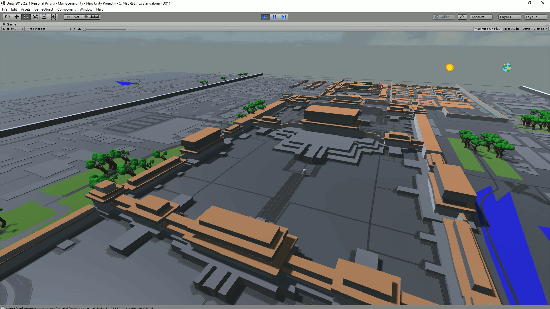
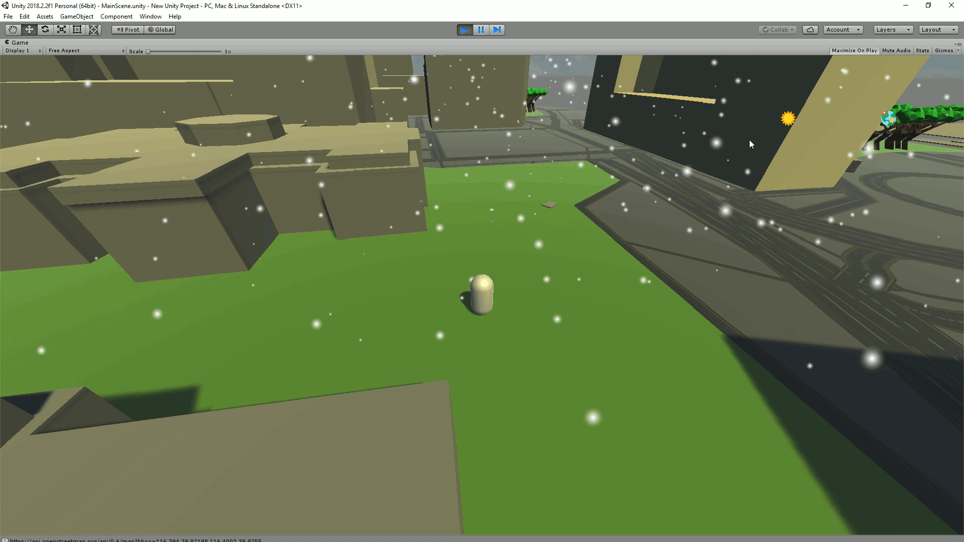
This project investigates creating a 3D game environment using real world map data in Unity. It gathers multiple data types including weather data, building data, road data and local time and builds a playable 3D environment in real time using the gathered data to dynamically change the environment. The project is lightweight enough to be run on a mobile device but powerful enough to be customised to suit the needs of a complex 3D application.
The system works by first getting the GPS location of the device and then requesting the map data for that location using Open Street Maps API. The data is then parsed to group the objects and for each object a mesh is created and placed in the relative location within the game.
I really enjoyed working on this project and was overall very happy with the end result. The project itself works on both mobile and PC. It succesfully builds 3D environments using the map data, if the data is available. It also makes changes to the environment based off other real world variables such as the weather.